
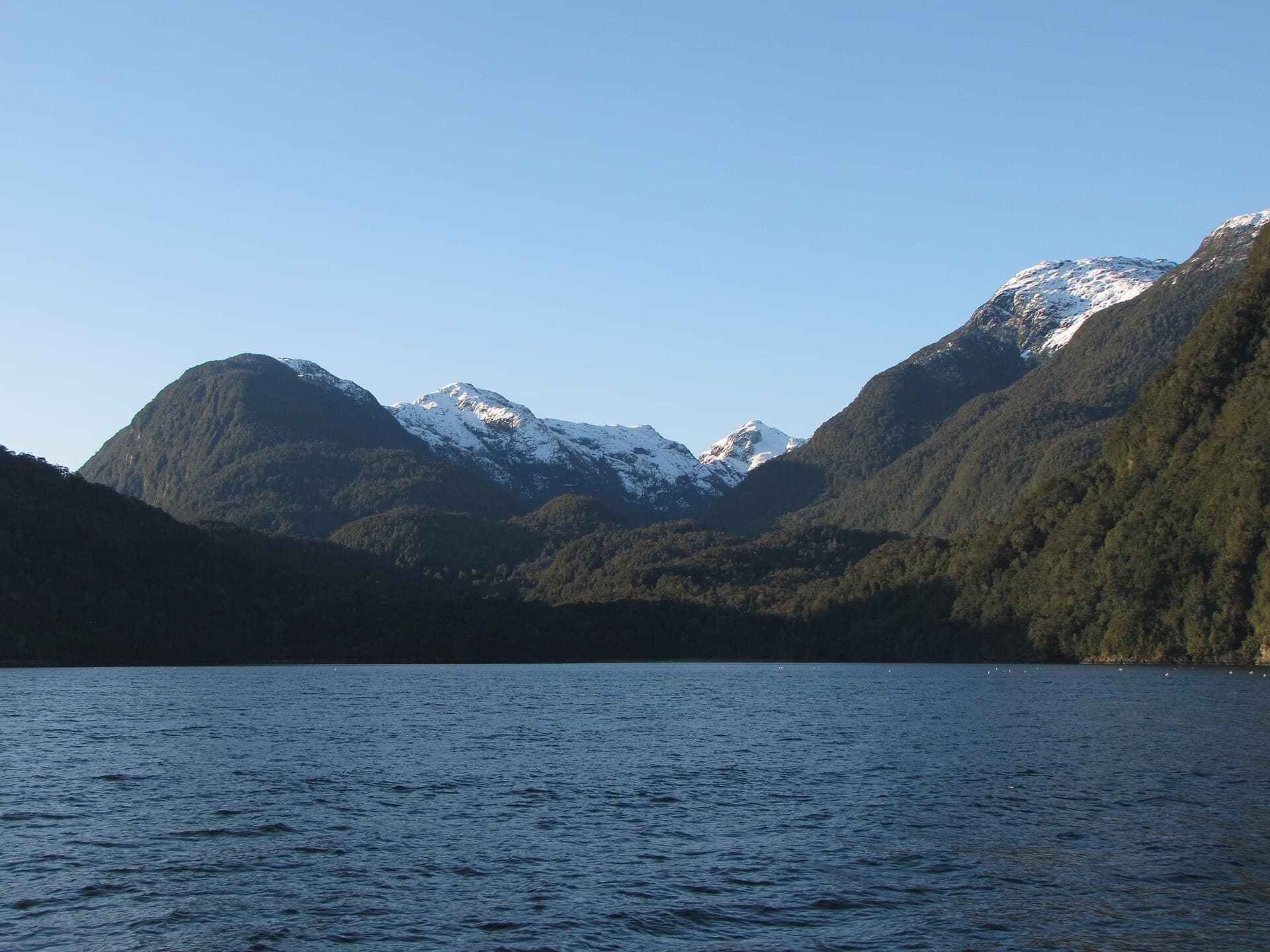
Parque Nacional Isla Magdalena
Area: Comuna de Cisnes — acceso marítimo desde Puerto Cisnes
Covering nearly 250,000 hectares, this national park created in 1983 protects virtually the entire Magdalena island, between the Moraleda channel and the Puyuhuapi channel. Its interior holds an evergreen forest of coigüe, canelo and arrayán, rivers, lagoons and the Mentolat volcano (1,660 m), the island's highest point. Along its shores it is possible to spot sea lions, penguins and seabirds. Access is by sea only, sailing from Puerto Cisnes —one hour from the island—, Puerto Aguirre or Puyuhuapi; excursions are coordinated with local operators and require a departure clearance. It is a destination for travellers seeking nature in its purest state: the park has no tourist infrastructure. Photo: Lin linao — CC BY-SA 4.0, via Wikimedia Commons.